I chuckled a little bit while typing the title of this blog. Not that I'm laughing at the overall risk of a significant storm system, but that living in the southern United States offers some of the most unique and vast range of weather experiences. Sometimes all you can do is laugh. I'm Zachary Hall, I normally type up these weather blogs for our team here at the Vortex Crew.
This weekend round of weather is nothing new, in fact, we've seen these setups many times before. Warm humid gulf air advecting north leading to a wave of severe weather, with the advancement of cold air and perhaps some snowfall on the backside. Let's dig into it.
First and foremost, we will likely experience a wave of thunderstorms on Friday into the evening hours. I'm comfortable in stating that the "Arklatex" region could experience the highest risk of severe weather, including tornadoes. However, the Storm Prediction Center has included a vast region of the south central U.S.
We should begin to see an uptick in thunderstorm activity by Friday afternoon in southeast Oklahoma and eastern Texas. The trick with this system will be monitoring any "pre-squall line" isolated storm development. These isolated storms would offer the best chance for a heightened tornado risk. Regardless you can likely bet on a strong line of thunderstorms advancing east Friday night into Saturday through the lower Mississippi valley.
All modes of severe weather will be possible, including large hail, damaging winds and tornadoes. Remember tornadoes can still occur within a squall line. Although they are normally short lived, we recently experienced one in northwest Arkansas (near Rogers) that inflicted plenty of damage. Be mindful of this!
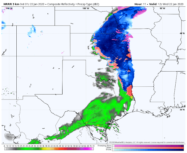
As for the snow chatter...... I'm not 100% sold on this. This may be due to the complete lack of snow over recent past. REGARDLESS, I'm including the latest run of the EURO model (image above). As thunderstorms progress east, there could be some wrap around snowfall/winter mix in eastern Oklahoma and northwest Arkansas. It should be noted that the EURO model is pretty aggressive with this solution. The NAM and GFS are much more reserved. I have no shame in saying I didn't include them for the sake of sanity of all of you snow lovers.
(Please read that last line a few times)
It seems as if the better chances for a more significant snowfall will occur in eastern Kansas into Missouri. Just something to watch for now, the severe weather is by FAR the bigger story this weekend.
Did you think we were done? Nope! As we move into the late night hours of Friday into Saturday - an additional round of severe weather is possible across the deep south region. I won't elaborate much on this for now, as data is still limited. Regardless, you can likely expect our normal suspects of severe weather.
Flash flooding is often overshadowed in severe weather events. I'm here to tell you that this should never be overlooked, thousands of people die every year in flash flooding. As we progress through the weekend, we will likely see very torrential rainfall due to severe thunderstorms. Here is a look at the EURO model precipitation accumulation. NEVER DRIVE INTO A FLOODED ROADWAY! EVER!
If you read this entire blog, I appreciate it. We will likely be out chasing severe weather this weekend. Remember to follow us on Twitter, you can also follow my personal Twitter, I'm always providing updates there too. I'll include those links below. As always, thank you for following!
Twitter links:
https://twitter.com/vortexchasing?lang=en
https://twitter.com/wxzachary?lang=en
Model data used from: WeatherBell.com


