The last few days have been great, low humidity and cooler temperatures; just what the doctor ordered. Tomorrow we will gradually warm up, it may actually be a little unpleasant tomorrow at times. Don't worry though, it won't last long. Fall will be a nice memory on Friday, as temperatures struggle to climb into the 60's. If you're reading this blog, you should also be following me on Twitter. If you haven't done that, please do so now! :)
https://twitter.com/wxzachary?lang=en (@wxzachary)
As usual with any prominent front, thunderstorms accompany. Most of Arkansas should actually avoid much of a "widespread" severe weather event. Better chances do exist across western Arkansas, however. I've included a simulated radar model below this text.
Storms will enter western Arkansas Thursday evening. While they move east they should weaken some, the better chances for widespread severe weather being east of Arkansas into Oklahoma.
The real story with this front is the cold snap we're about to experience. While it isn't anything unusual in Arkansas, the never-ending summer like conditions will be a point of joking conversation as we move into Saturday.
Saturday morning will be the coldest air we've experienced in a long time. While I do feel as if the data is a bit aggressive, I wouldn't be shocked to see frost reports across the higher elevations of northern Arkansas. Regardless, it's going to be cold out there.
I'll be out storm chasing in Oklahoma and western Arkansas tomorrow. If you have any questions, just let shoot me a comment or message! Thanks for reading.
-Zach
Wednesday, October 9, 2019
Saturday, October 5, 2019
Stronger Thunderstorms for Sunday
After a cool down on Friday, many of us warmed up again today. This pattern will be put on hold as another cold front is poised to move in on Sunday (tomorrow). As usual with a cold front, some thunderstorms are likely. Some of these mentioned storms could be stronger, maybe even severe criteria. In this blog I will cover that potential and who has the better chances to see any storms.
As we move into the fall season, winter and eventually spring, our weather patterns will ramp up at times. I constantly post updates on Facebook and Twitter. Please follow me on both sites, my Twitter handle is (@wxzachary) https://twitter.com/wxzachary?lang=en
Let's go over a few points.
As we move into the fall season, winter and eventually spring, our weather patterns will ramp up at times. I constantly post updates on Facebook and Twitter. Please follow me on both sites, my Twitter handle is (@wxzachary) https://twitter.com/wxzachary?lang=en
Let's go over a few points.
- A few storms are possible late tonight, especially across NWA. Most of these storms should remain under severe limits, but don't be surprised if you wake up to some thunder or heavy rain.
- Temperatures and dew points ahead of the front will be warm and humid. By Sunday evening, there will be a noticeable drop in heat and humidity. Monday morning will be cool and dry, like Fall SHOULD be, Tuesday will be even cooler.
- I fully suspect the strongest storms to occur across western sections of Arkansas, from I-40 south toward the Arklatex. Warm daytime heating and viable moisture should allow for sustained thunderstorm development ahead of the front.
- While all modes of severe weather are possible, the main concern is damaging winds and larger hail. The tornado risk is not zero, but not high by any means.
I've included a few models to help paint a better picture.
If you've been following me for some time, you know I always like to include a model with the surface based CAPE values. I've done so here (model above this text). CAPE is essentially thunderstorm fuel, notice the higher values across southwest Arkansas, southeast Oklahoma and northeast Texas. This is due to warmer daytime heating and high moisture content. This combination is needed for sustained thunderstorm development.
By tomorrow afternoon it will be rather warm, especially across the southern half of Arkansas. You can clearly see the front positioned across northern Arkansas (50's and 60's) by tomorrow at lunch time. This won't last long, as the front will continue across the state during the span of Sunday evening.
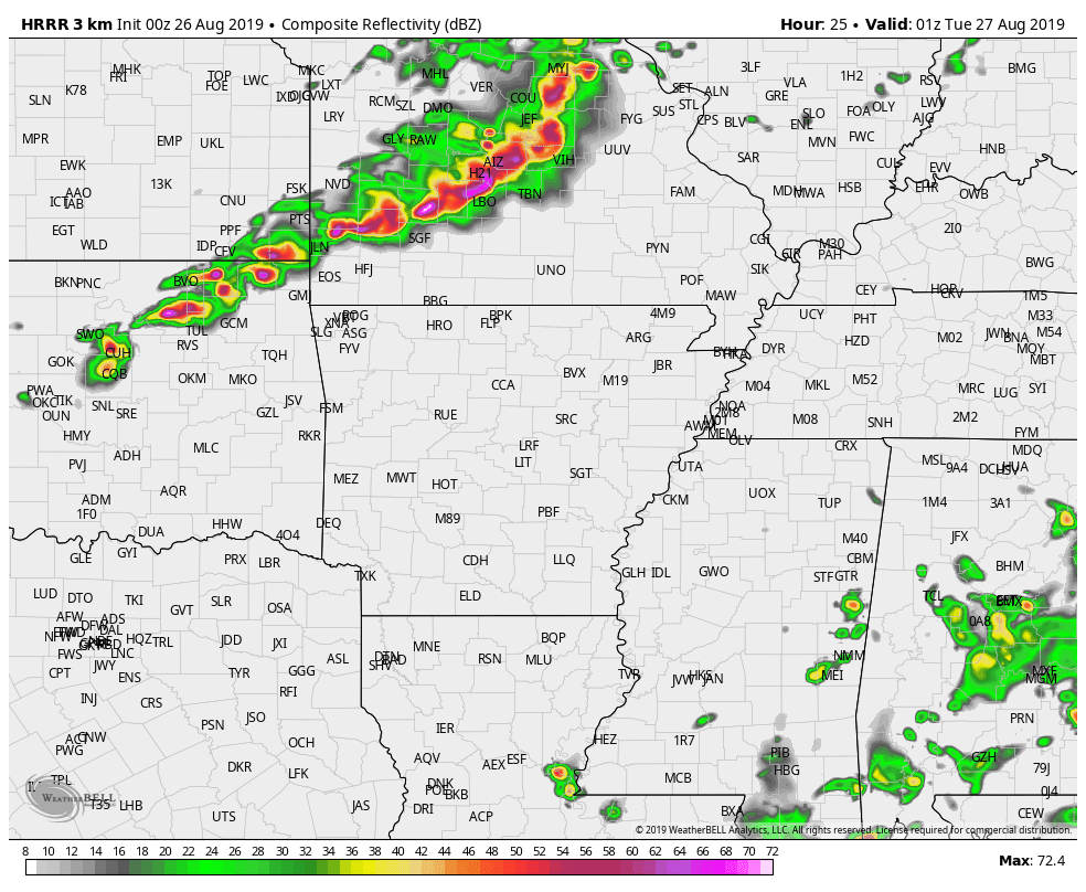
By tomorrow afternoon, thunderstorms will be on-going across a fairly large part of the state. However, we will need to monitor the storms across southwest Arkansas as they form and track southeast. These are the storms I've been talking about in this blog and will pose the best threat for severe weather.
There could also be a few other clusters of stronger storms across southern Arkansas as well. As I spoke on earlier, damaging winds and larger hail seems to be the biggest concern. This is not uncommon for October and it appears we will have more chances for severe weather in the not so distant future.
Thank you so much for following and if you have any questions, feel free to comment or message!
-Zach
Sunday, August 25, 2019
Severe Weather on Monday
Hey everyone! It's Zach from the Vortex Crew. As many of you know, I also storm chase locally for KNWA here in western Arkansas. It's been some time since I've worked on a severe weather blog, but it appears that drought will end tonight. We're expecting a strong round of thunderstorms on Monday evening. For now, it seems like portions of western Arkansas, specifically northwest Arkansas will see some of the strongest storm activity. Let's look at a few details!
- Tomorrow will be warm and VERY humid. Excessive heat warnings have been issued for some counties locally. We should remain mostly dry throughout the day.
- Thunderstorms should form tomorrow to our northwest into Kansas and Missouri. These storms will form along a front and move southeast toward Arkansas.
- I fully expect these storms to be fairly strong as they move into northwest Arkansas, where a rather unstable atmosphere will exist.
- All modes of severe weather will be possible, but I suspect damaging wind gusts and larger hail to be the main concern.
The Storm Prediction Center has issued an enhanced risk across much of Missouri and into northeast Oklahoma. A slight risk has also been issued to encompass this risk area. I wouldn't be the least bit surprised if the slight risk area is extended south to include more of western Arkansas.
By tomorrow evening, storms should be formed and well on their way southeast. Storms could be well matured by the time they arrive into northwest Arkansas.
Fast forward and storms have entered northwest Arkansas, the complex stretching well across Missouri and even eastern Oklahoma. Mind you, this is simulated radar imagery and shouldn't be taken literally. Although, it does present a solid idea on what we could expect.
The last model I'd like to share is the CAPE, or convective available potential energy output. This represents what I like to term as "thunderstorm fuel". Warm humid air will aid in destabilizing our atmosphere tomorrow. This will allow for sustained thunderstorm development and track as storms enter NW Arkansas tomorrow. Notice those values within the purple and gray, anything over 2,500 j k/g is more than enough for strong to severe thunderstorm activity.
Be sure to follow Dan, Melissa and Rick on KNWA and on social media. This blog is a basic detail regarding this event. I'll be out chasing storms tomorrow evening with plenty of updates on Facebook and Twitter. Follow me on Twitter! (@wxzachary).
-Zach
Subscribe to:
Posts (Atom)
Winter Weather Possible Mid-Week
How awesome has the weather been today? After a nice taste of spring, reality will come crashing back by Tuesday evening. The entire state s...

-
If you have been following us for awhile, you would know that we don't normally advertise for companies or just any product. This has ch...
-
How awesome has the weather been today? After a nice taste of spring, reality will come crashing back by Tuesday evening. The entire state s...
-
As we approach Thanksgiving, travel plans will begin to formulate among families across the country. Snowfall looks very likely across the m...